


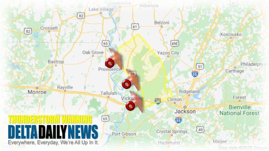
JACKSON, MS (227 PM CDT Sat May 23 2020) — The National Weather Service in Jackson has issued a Severe Thunderstorm Warning for Northeastern Warren County in west central Mississippi Southwestern Yazoo County in central Mississippi Northwestern Hinds County in central Mississippi Central Issaquena County in west central Mississippi Sharkey County in west central Mississippi until 330 PM CDT. At 227 PM CDT, severe thunderstorms were located along a line extending from Lake Providence to near Eagle Bend to Vicksburg, moving northeast at 35 mph. HAZARD: 60 mph wind gusts. SOURCE: Radar indicated. Expect damage to roofs, siding, and trees. Severe thunderstorms will be near Valley Park around 235 PM CDT. Bovina around 240 PM CDT. Flowers and Oak Ridge around 250 PM CDT. Youngton and Grace around 255 PM CDT. Rolling Fork around 300 PM CDT. Anguilla and Nitta Yuma around 305 PM CDT. Phoenix around 310 PM CDT. Delta City and Brownsville around 315 PM CDT. Other locations impacted by these severe thunderstorms include Satartia, Mayersville and Cary. For your protection move to an interior room on the lowest floor of a building.
[sc name=”twitterfollow”]


