


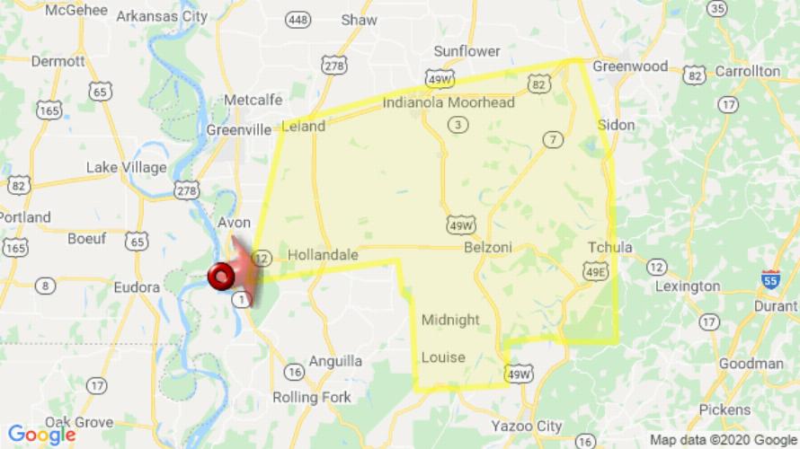
JACKSON, MS (247 PM CDT Fri Jul 31 2020) — The National Weather Service in Jackson has issued a Severe Thunderstorm Warning for Southern Sunflower County in northwestern Mississippi Northwestern Holmes County in central Mississippi Southwestern Leflore County in north central Mississippi Eastern Washington County in northwestern Mississippi Humphreys County in central Mississippi until 345 PM CDT. At 246 PM CDT, a severe thunderstorm was located near Avon, moving east at 55 mph. HAZARD: 70 mph wind gusts. SOURCE: Radar indicated. Expect considerable tree damage. Damage is likely to mobile homes, roofs, and outbuildings. This severe thunderstorm will be near Hollandale and Estill around 300 PM CDT. Darlove around 305 PM CDT. Inverness and Isola around 320 PM CDT. Belzoni around 325 PM CDT. Swiftown around 330 PM CDT. Other locations impacted by this severe thunderstorm include Silver City, Arcola, Louise, Morgan City and Cruger. For your protection move to an interior room on the lowest floor of a building.
[sc name=”twitterfollow”]

