


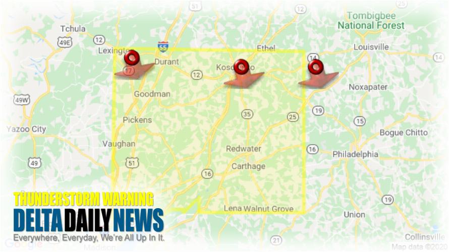
JACKSON, MS (731 PM CDT Wed Jul 1 2020) — The National Weather Service in Jackson has issued a Severe Thunderstorm Warning for Leake County in central Mississippi Southeastern Holmes County in central Mississippi Southern Attala County in central Mississippi East central Yazoo County in central Mississippi Northeastern Madison County in central Mississippi until 815 PM CDT. At 731 PM CDT, severe thunderstorms were located along a line extending from 9 miles northeast of Zama to Kosciusko to near Mcmillan, moving south at 45 mph. HAZARD: 60 mph wind gusts and penny size hail. SOURCE: Radar indicated. Expect damage to roofs, siding, and trees. Severe thunderstorms will be near Smyrna around 740 PM CDT. Pickens, Singleton and Renfroe around 750 PM CDT. Cameron and Vaughan around 755 PM CDT. Carthage, Camden and Way around 800 PM CDT. Sharon, Tuscola and Madden around 810 PM CDT. Farmhaven around 815 PM CDT. Other locations impacted by these severe thunderstorms include Lena, Walnut Grove, Sallis, Redwater and Standing Pine. For your protection move to an interior room on the lowest floor of a building.
[sc name=”twitterfollow”]


