


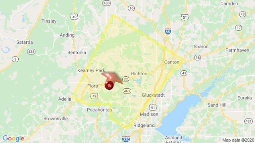
JACKSON, MS (730 PM CDT Wed Aug 12 2020) — The National Weather Service in Jackson has issued a Severe Thunderstorm Warning for East central Yazoo County in central Mississippi Southwestern Madison County in central Mississippi until 815 PM CDT. At 730 PM CDT, a severe thunderstorm was located near Flora, or 10 miles northwest of Madison, moving northeast at 20 mph. HAZARD: 60 mph wind gusts and quarter size hail. SOURCE: Radar indicated. Hail damage to vehicles is expected. Expect wind damage to roofs, siding, and trees. This severe thunderstorm will remain over mainly rural areas of east central Yazoo and southwestern Madison Counties. For your protection move to an interior room on the lowest floor of a building.
[sc name=”twitterfollow”]


