


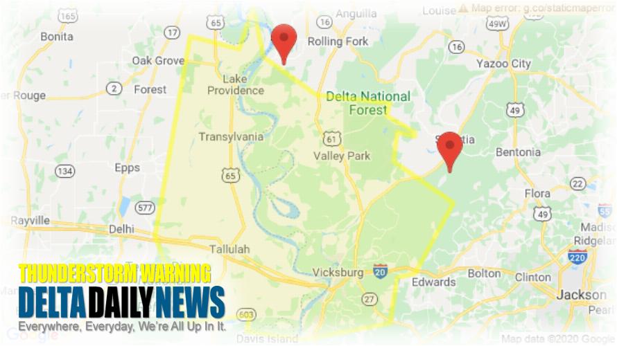
JACKSON, MS (611 PM CDT Fri Jun 5 2020) — The National Weather Service in Jackson has issued a Severe Thunderstorm Warning for East Carroll Parish in northeastern Louisiana Madison Parish in northeastern Louisiana Warren County in west central Mississippi Issaquena County in west central Mississippi Southern Sharkey County in west central Mississippi until 730 PM CDT. At 611 PM CDT, severe thunderstorms were located along a line extending from 8 miles north of Fitler to Phoenix, moving south at 35 mph. HAZARD: 60 mph wind gusts. SOURCE: Radar indicated. Expect damage to roofs, siding, and trees. Severe thunderstorms will be near Fitler, Onward and Oak Ridge around 625 PM CDT. Youngton around 630 PM CDT. Transylvania and Flowers around 635 PM CDT. Alsatia and Bovina around 640 PM CDT. Sondheimer and Eagle Bend around 645 PM CDT. Omega around 650 PM CDT. Mansford around 655 PM CDT. Tallulah around 705 PM CDT. Other locations impacted by these severe thunderstorms include Mound, Delta and Richmond. For your protection move to an interior room on the lowest floor of a building.
[sc name=”twitterfollow”]


